Namibia


Namibia is a vast and diverse country in Southern Africa, known for its stunning natural landscapes, varied ecosystems, and unique geographical features.

Location and Geography

  • Location: Namibia is located in southwestern Africa. It borders Angola to the north, Zambia to the northeast, Botswana to the east, and South Africa to the south, with the Atlantic Ocean forming its western boundary.
    Area: 824,292 km², making it one of the largest countries in Africa.
    Topography: Namibia has three main geographical regions:
    • Namib Desert: Along the western coast, it is one of the world’s oldest deserts with massive sand dunes.
      Inland Plateau: The central part of the country features a high plateau (1,000–2,000 m above sea level), with cities like Windhoek and Otjiwarongo.
      Kalahari Desert: In the east and southeast, forming part of the border with Botswana.

Climate Zone

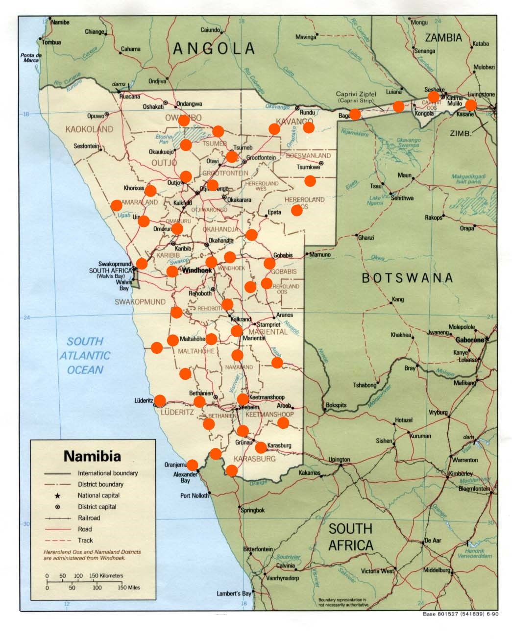
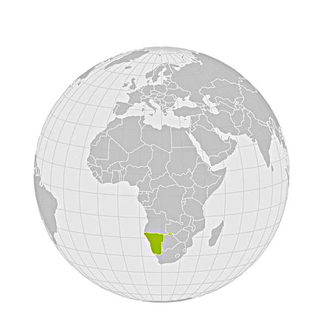
Namibia predominantly falls within the subtropical dry zone, meaning it has hot weather with very limited rainfall. The Namib Desert is extremely arid, while the northeastern regions experience slightly more rainfall.


Capital City and Its Location

  • Capital: Windhoek
    Location: Centrally located in the inland plateau.
    Elevation: 1,650 meters above sea level

List of Regions (Provinces) and Their Predominant Biomes

Namibia is divided into 14 regions, each with different biomes:

  • Erongo: dry savannas, rocky areas, and mountain biomes (Erongo Mountains).
    Hardap: dry savannas, semi-deserts, and agricultural zones.
    Kavango East: savannas, wetlands, and riverine biomes.
    Kavango West: similar to Kavango East, with riverine and forested areas.
    Khomas: mountainous biomes, dry savannas, and plains.
    Kunene: semi-deserts, mountain areas (Kaokoland), and the Namib Desert.
    Ohangwena: dry savannas and sparse forests.
    Omaheke: part of the Kalahari, grass savannas.
    Omusati: dry savannas and riverine biomes.
    Oshana: grassy savannas.
    Oshikoto: savannas and sparse forests.
    Otjozondjupa: dry savannas and woodlands.
    Zambezi: wet savannas and riverine ecosystems.
    Karas: arid deserts and semi-deserts, including parts of the Kalahari.

Climate, Rainy Season, Main Vegetation Period

  • Climate: Most of Namibia has a dry and semi-arid climate, with extremely high temperatures during summer.
  • Rainy Season: From November to April. Rainfall is generally concentrated in the northern and northeastern parts, while the western and southern regions remain extremely arid.
  • Main Vegetation Period: Following the rainy season (December to March), when the landscape flourishes, and grasses and plants grow rapidly.

Landscapes, Biomes, and Forest Types

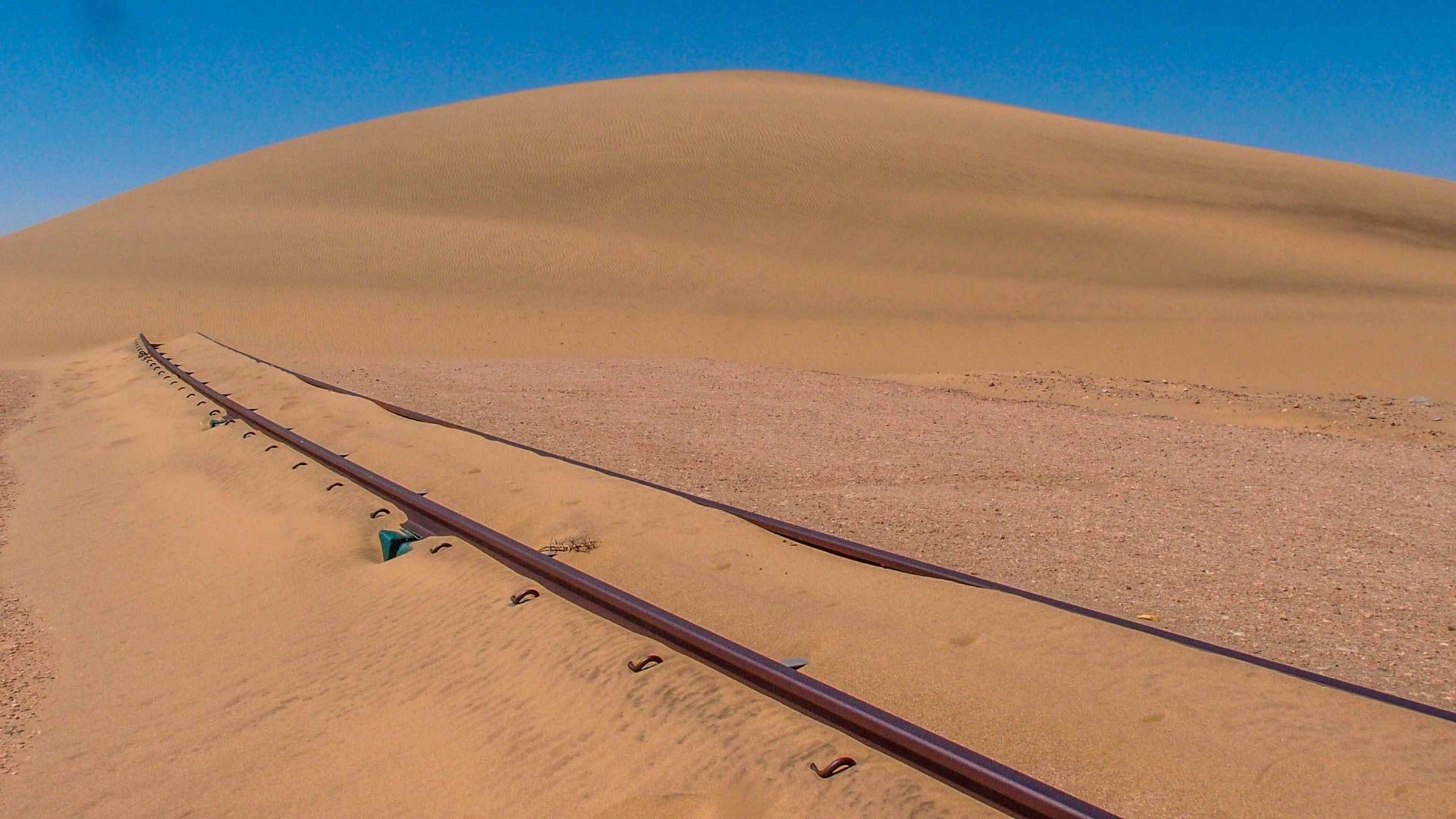
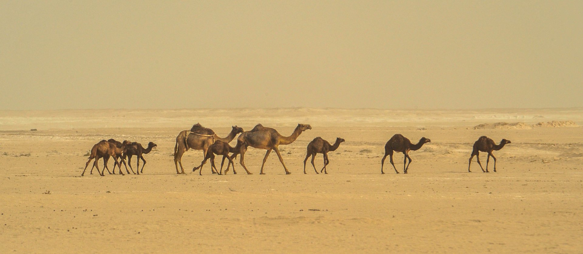
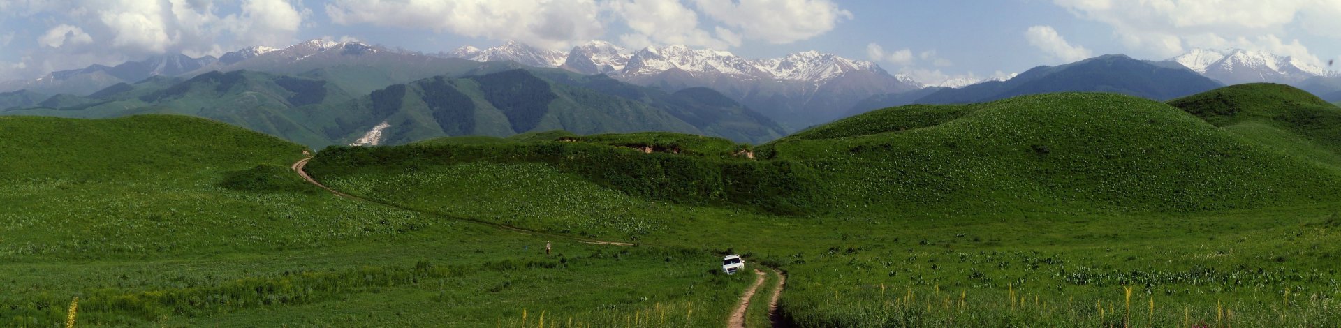
Namibia is rich in diverse landscapes and biomes:

  • Namib Desert: sand dunes, rocky deserts, and unique plants like Welwitschia.
    Savannas: cover much of central and northeastern Namibia, including thorny bushes and acacias.
    Forests: mostly in the northeastern regions (Kavango, Zambezi), featuring dry deciduous forests and riverine woodlands.
    Wetlands: found in the Zambezi region (e.g., the Zambezi River), featuring wetland ecosystems.

List of Mountain Ranges

  • Brandberg: Namibia’s highest mountain (Königstein, 2,573 m).
    Erongo Mountains: a volcanic mountain range in central Namibia.
    Naukluft Mountains: part of the range bordering the Namib Desert.
    Spitzkoppe: iconic granite mountain, often called the “Matterhorn of Namibia.”
    Huns Mountains: located in the south, near the South African border.
    Khomas Highlands: mountains in the central part of the country near Windhoek.

List of Major Landscapes

  • Namib Desert: characterized by unique sand dunes and rocky desert.
    Kalahari Desert: dry and semi-arid landscape with sandy terrain and grasses.
    Etosha Pan: a vast salt pan in northern Namibia, a vital ecosystem for wildlife.
    Caprivi Strip (Zambezi Region): a narrow strip of land with wetlands, savannas, and rivers.
    Fish River Canyon: the second-largest canyon in the world, located in southern Namibia.
    Skeleton Coast: wild, inhospitable Atlantic coastline with desert extending to the sea.

List of National Parks

  • Etosha National Park: famous for wildlife and the vast Etosha Pan.
  • Namib-Naukluft National Park: home to the iconic Sossusvlei dunes and Namib Desert.
  • Skeleton Coast National Park: protecting the remote Atlantic coastline and desert.
  • Bwabwata National Park: wetlands and forests in northeastern Namibia.
  • Nkasa Rupara National Park: located in the Zambezi region, with marshy ecosystems.
  • Mudumu National Park: savannas and forests in the Zambezi region.
  • Dorob National Park: a coastal park in central Namibia.
  • Khaudum National Park: a remote wilderness park in the northeast.
  • Waterberg Plateau Park: elevated plateaus and a sanctuary for endangered species.
  • Ai-Ais Richtersveld Transfrontier Park: located in the south, along the border with South Africa.

Typical Flora and Fauna of Namibia

Flora

  • Welwitschia mirabilis: an iconic desert plant that can live for thousands of years.
    Aloe dichotoma (Kokerboom): a tree aloe typical of arid regions.
    Mopane Trees: dominant in the northeastern regions.
    Baobab Trees: massive trees found in the northeastern part of the country.
    Grasses and shrubs: characteristic of savannas and semi-deserts.

Fauna

  • Desert Elephants: adapted to life in the extremely arid environment.
    Black Rhinoceros: an endangered species found in parks like Etosha.
    Oryx (Gemsbok): Namibia's national animal, adapted to desert life.
    Cheetah: Namibia has the largest population of cheetahs in the world.
    Lions: primarily in national parks like Etosha.
    Zebra: both mountain and plains zebras, inhabiting savannas and mountains.


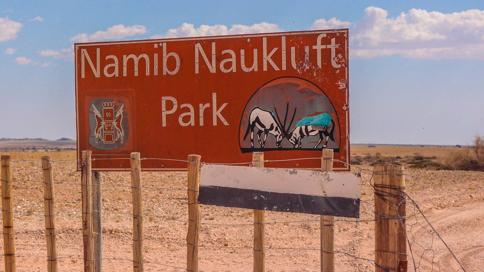
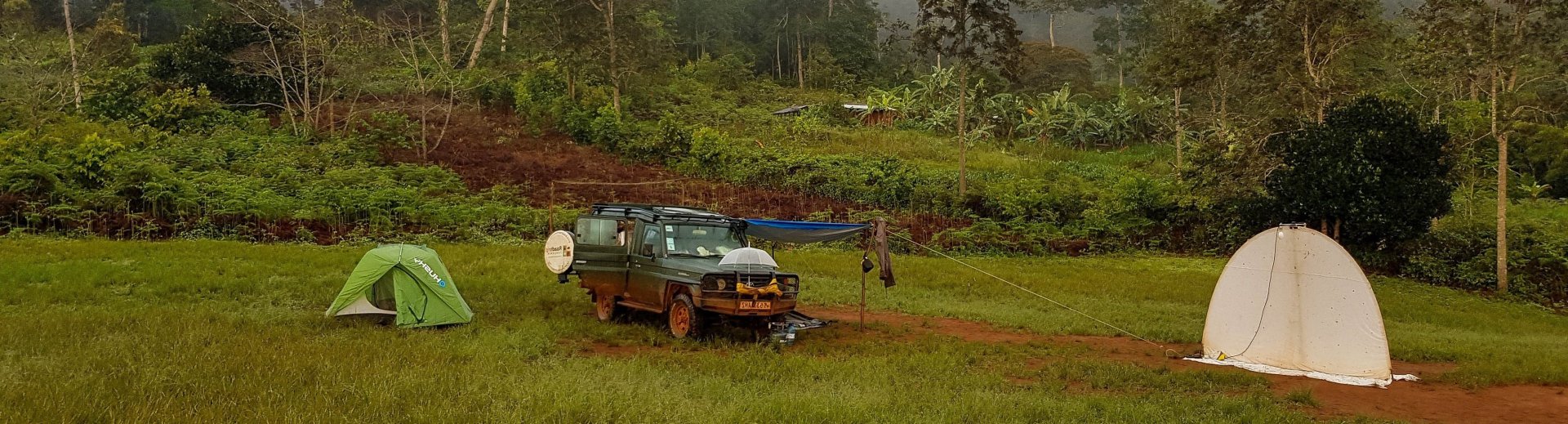
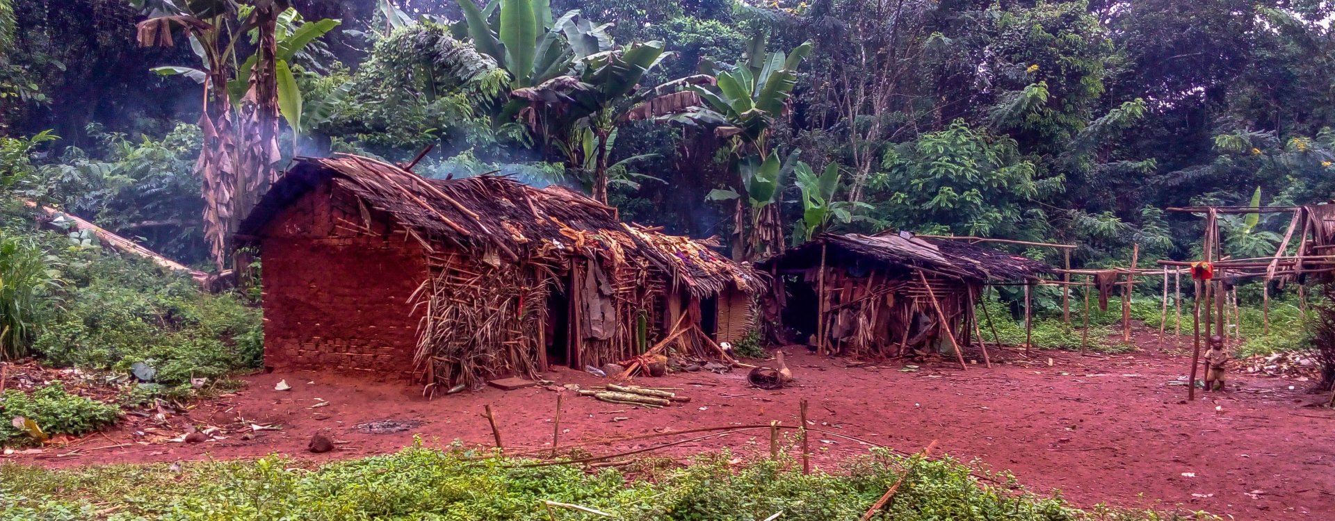
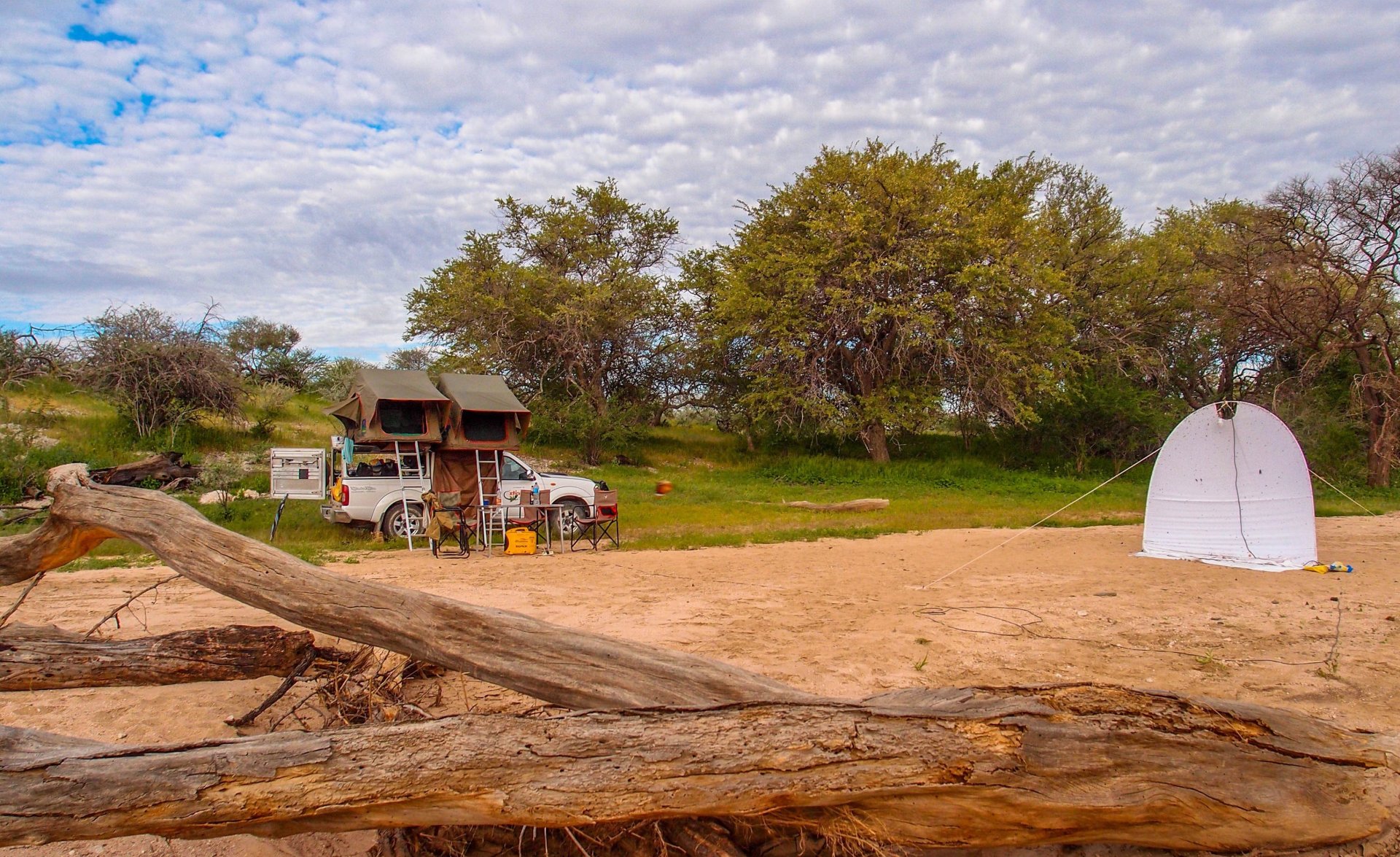
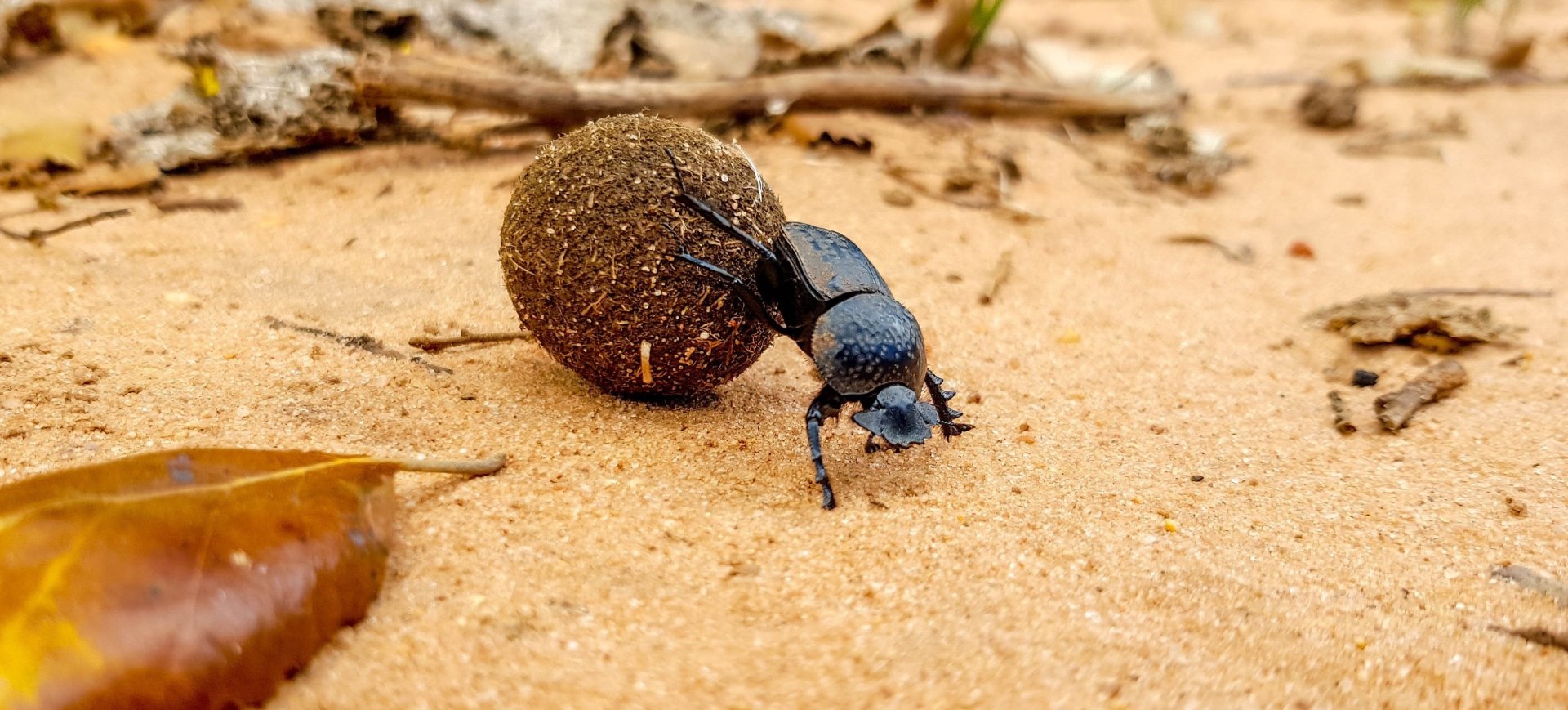
Namibia is a natural paradise for wildlife and adventurers alike, offering a unique blend of deserts, mountains, savannas, and diverse wildlife.


 Our expedition in Namibia